When calculating geographical areas on Earth, understanding the difference between Cartesian and ellipsoidal systems becomes essential. These two approaches represent different ways to measure space and location across the Earth’s surface. In a simplified context, Cartesian systems rely on flat, two-dimensional grids, while ellipsoidal systems take into account the Earth’s curved and slightly flattened shape. The choice between these two systems can significantly affect the accuracy of spatial calculations, especially when dealing with large regions or applications that require precision such as satellite mapping, land surveying, or geospatial analysis.
Understanding Cartesian Coordinates
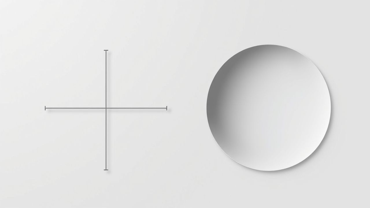
What Is the Cartesian Coordinate System?
The Cartesian coordinate system is a grid-based system that defines a location using x and y values on a flat plane. In three dimensions, it also includes a z-axis. This method assumes that space is flat, which makes mathematical computations much simpler. It is frequently used in engineering, computer graphics, and simple mapping tasks where high accuracy regarding Earth’s curvature is not a concern.
Area Calculations in Cartesian Systems
When calculating area using Cartesian coordinates, the measurements are based on flat, rectangular geometry. Common techniques include
- Using simple formulas like length à width for rectangles
- Applying polygonal area formulas for irregular shapes
- Implementing numerical integration in 2D grid environments
Because Cartesian models ignore Earth’s curvature, the calculated area is an approximation, becoming less accurate as the measured region grows larger.
Exploring the Ellipsoidal Model
What Is an Ellipsoidal System?
An ellipsoidal system is a coordinate system that models Earth as an ellipsoid flattened at the poles and bulging at the equator. Unlike a sphere, an ellipsoid more accurately represents the planet’s true shape. In geographic coordinate systems, positions are given in terms of latitude and longitude, which are based on an ellipsoidal surface.
Area Calculations on an Ellipsoid
Calculating area on an ellipsoid is more complex than in Cartesian systems because it involves curvature. Formulas and algorithms must consider
- Latitude and longitude boundaries
- Ellipsoidal radius variations
- Geodesic distances instead of straight lines
Professional tools such as geographic information systems (GIS) and geodetic software use advanced algorithms like Vincenty’s formulae or numerical integration methods to calculate area on the ellipsoidal surface.
Key Differences Between Cartesian and Ellipsoidal Areas
Flat vs. Curved Representation
The most fundamental difference lies in geometry. Cartesian systems assume a flat, two-dimensional surface, while ellipsoidal systems take into account Earth’s curvature. This distinction affects how distances, angles, and areas are measured.
Use Cases and Accuracy
The level of precision required in an application determines which model is more appropriate
- CartesianSuitable for small-scale applications like city planning, building layouts, and computer graphics.
- EllipsoidalPreferred for global mapping, navigation systems, satellite imagery, and scientific research where curvature must be considered.
Coordinate Systems and Units
In Cartesian systems, coordinates are typically in meters or feet along x, y, and z axes. In ellipsoidal systems, coordinates are in degrees of latitude and longitude, sometimes with height above the ellipsoid. This difference in units also impacts how area is calculated.
Computation Methods
To compute area in a Cartesian system, users often use basic geometry or GIS functions based on a projected coordinate system. In contrast, ellipsoidal area computation relies on
- Ellipsoid models like WGS84 or GRS80
- Integration over curved surfaces
- Specialized geodesic libraries and functions
While Cartesian calculations are quicker and simpler, ellipsoidal methods provide better real-world accuracy, especially across larger regions.
Implications in Geographic Information Systems (GIS)
Projected Coordinate Systems
Many GIS applications convert ellipsoidal coordinates to Cartesian grids through a process called projection. This allows complex curved-surface data to be handled in a flat environment. However, all projections introduce distortion whether in shape, area, distance, or direction. Choosing the right projection minimizes this distortion based on the study area.
Area Accuracy in GIS Software
Modern GIS platforms like QGIS, ArcGIS, and others allow users to calculate area using both projected (Cartesian) and geodesic (ellipsoidal) methods. Users must decide which method suits their analysis
- Projected areas are easier to interpret on maps
- Geodesic areas provide more accurate surface area values
For environmental studies, land use planning, or cadastral mapping, ellipsoidal area calculations are often required for legal or scientific precision.
Real-World Examples
Land Parcel Calculation
Suppose a land surveyor needs to calculate the area of a 10-hectare plot. If the area is small and relatively flat, Cartesian methods using a local projection can suffice. However, for legal documentation that aligns with national coordinate systems, the ellipsoidal model may be used to calculate a more precise value.
Satellite Imagery and Earth Observation
Remote sensing data from satellites often comes in ellipsoidal coordinates. Calculating the area of deforested land, for instance, requires converting pixel data into latitude-longitude coordinates and integrating over the curved Earth surface to get accurate area results.
Challenges and Considerations
Projection Errors
Using Cartesian systems means choosing a map projection, each with its own compromise. Equal-area projections preserve area but distort shape, while conformal projections preserve shape but distort area. Understanding the impact of these trade-offs is essential for accurate spatial analysis.
Computational Complexity
Ellipsoidal calculations are mathematically and computationally more complex. They often require specialized tools or libraries, and in some cases, increased computing time. This is one reason many users default to projected systems unless precision is critical.
Software Compatibility
Not all GIS or CAD software handles ellipsoidal calculations natively. Users must ensure that their tools support geodesic area functions or that appropriate plugins are available. Otherwise, they risk underestimating or overestimating important metrics.
Understanding the distinction between Cartesian and ellipsoidal area calculations is vital for professionals working with spatial data. While Cartesian systems offer simplicity and efficiency for local, small-scale mapping, ellipsoidal systems provide the accuracy needed for global and scientific applications. Both approaches have their place, and selecting the right one depends on project scale, required precision, and available tools. By recognizing these differences, users can ensure that their area measurements are both appropriate and reliable for the task at hand.