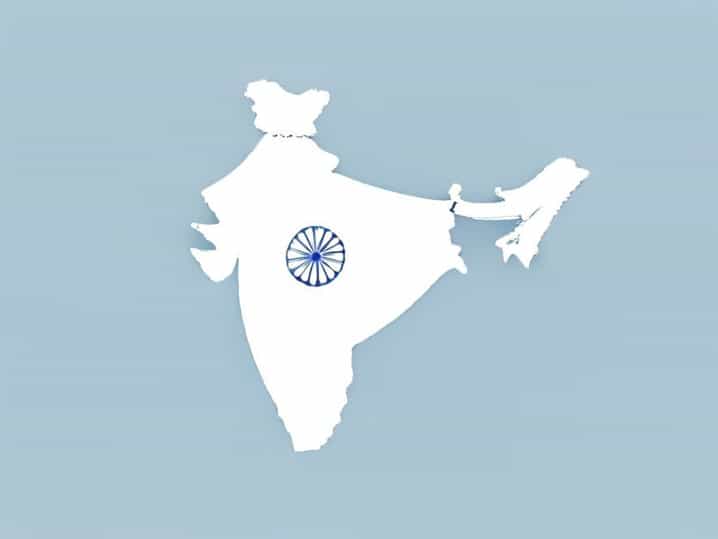
India’s geographical location plays a crucial role in shaping its climate, culture, biodiversity, and historical development. When students, travelers, or geography enthusiasts ask about the latitudinal and longitudinal extent of India, they are essentially trying to understand where the country lies on the global map and how this position influences life within its borders. India’s vast size and unique placement give it remarkable physical and cultural diversity, making its geographic extent an important topic of study.
Understanding Latitude and Longitude
Latitude and longitude are imaginary lines drawn on the Earth to help locate places accurately. Latitude measures distance north or south of the Equator, while longitude measures distance east or west of the Prime Meridian.
These coordinates help define a country’s position and explain variations in climate, time, and natural features. India’s latitudinal and longitudinal extent places it firmly in the Northern and Eastern Hemispheres.
Latitudinal Extent of India
The latitudinal extent of India refers to how far the country stretches from north to south. Mainland India lies entirely north of the Equator.
India extends from approximately 8°4² North latitude to 37°6² North latitude. This wide latitudinal range has a strong influence on temperature, seasons, and vegetation.
Southernmost Latitude of India
The southernmost point of mainland India is near Kanyakumari, located at about 8°4² North latitude. This region experiences a tropical climate with relatively warm temperatures throughout the year.
Including the island territories, India’s southernmost point is Indira Point in the Andaman and Nicobar Islands, which lies slightly south of the mainland.
Northernmost Latitude of India
The northernmost extent of India reaches approximately 37°6² North latitude. This region lies in Jammu and Kashmir and Ladakh.
These northern areas experience much colder climates, with snowfall and alpine conditions, especially in the Himalayan ranges.
Longitudinal Extent of India
The longitudinal extent of India describes how far the country stretches from east to west. India lies entirely east of the Prime Meridian.
The country extends from about 68°7² East longitude to 97°25² East longitude. This east-west spread affects sunrise times, local time differences, and daily activities.
Westernmost Longitude of India
The westernmost point of India lies near the border of Gujarat, close to 68°7² East longitude.
This region includes desert landscapes such as the Rann of Kutch, which has unique ecological and climatic features.
Easternmost Longitude of India
The easternmost extent of India reaches approximately 97°25² East longitude in the state of Arunachal Pradesh.
This area is known for its early sunrise times and rich biodiversity, including dense forests and hilly terrain.
Importance of the Tropic of Cancer
The Tropic of Cancer, located at 23°30² North latitude, passes almost through the middle of India. This line divides the country into two climatic zones.
Areas south of the Tropic of Cancer experience a more tropical climate, while regions to the north have subtropical conditions.
States Crossed by the Tropic of Cancer
- Gujarat
- Rajasthan
- Madhya Pradesh
- Chhattisgarh
- Jharkhand
- West Bengal
- Tripura
- Mizoram
This geographic feature plays a key role in determining seasonal variations across the country.
Standard Meridian of India
India uses a single standard time known as Indian Standard Time. This time is based on the longitude of 82°30² East.
The standard meridian passes near Mirzapur in Uttar Pradesh and helps maintain uniform time across the country.
Why One Time Zone Is Used
Despite India’s wide longitudinal extent, the country follows one time zone for administrative convenience.
This choice simplifies communication, transportation, and governance.
Impact of Latitudinal Extent on Climate
India’s north-south stretch results in significant climatic variation. The southern regions are closer to the Equator and experience relatively stable temperatures.
Northern regions, especially near the Himalayas, have extreme seasonal variations, including cold winters and mild summers.
Impact of Longitudinal Extent on Daily Life
The east-west spread of India causes noticeable differences in sunrise and sunset times. Eastern states see daylight earlier than western states.
This variation affects daily routines, agricultural practices, and energy consumption.
Role of Geographic Extent in Agriculture
India’s latitudinal and longitudinal extent allows the cultivation of a wide variety of crops. Tropical crops like rice, coconut, and rubber grow well in southern regions.
Temperate crops such as wheat, apples, and barley thrive in northern areas.
Influence on Biodiversity
The wide geographic extent supports diverse ecosystems, including deserts, forests, wetlands, coastal plains, and mountains.
This diversity makes India one of the world’s most biologically rich countries.
Connection to Monsoon System
India’s latitudinal position plays a key role in attracting the southwest monsoon winds. These seasonal winds bring rainfall essential for agriculture.
The monsoon system is closely linked to India’s location between the Equator and the Tropic of Cancer.
Geographical Extent and Cultural Diversity
The vast spread from north to south and east to west has contributed to India’s cultural diversity. Climate, terrain, and natural resources influence food habits, clothing, and lifestyles.
This diversity is one of India’s defining characteristics.
Comparison With Other Countries
India’s latitudinal extent is similar to that of countries with multiple climate zones. Its longitudinal extent is also significant, covering a wide range of local times.
This makes India geographically complex and dynamic.
Why Students Study India’s Extent
Understanding the latitudinal and longitudinal extent of India is a foundational topic in geography education. It helps students connect physical location with real-world outcomes.
It also builds spatial awareness and map-reading skills.
Common Mistakes About India’s Coordinates
Some people confuse mainland India with island territories when stating coordinates. Others forget that the Tropic of Cancer passes through the country.
Clear understanding helps avoid these common errors.
Practical Uses of Geographic Coordinates
Latitude and longitude are used in navigation, weather forecasting, satellite communication, and disaster management.
India’s defined geographic extent supports planning and development efforts.
Relevance in Modern Times
Even today, India’s geographic position influences trade routes, international relations, and environmental challenges.
Its location between East and West has long made it a cultural and economic crossroads.
India extends from approximately 8°4² North to 37°6² North latitude and from 68°7² East to 97°25² East longitude. This vast latitudinal and longitudinal extent places India in the Northern and Eastern Hemispheres and gives it remarkable climatic, ecological, and cultural diversity. From tropical coasts to icy mountains, India’s geographic span shapes every aspect of life within the country. Understanding this extent provides valuable insight into India’s environment, economy, and identity on the world map.