Australia is a unique and vast country located in the Southern Hemisphere, known for its distinct geography, biodiversity, and cultural heritage. Many people wonder where Australia is on the map due to its relatively isolated position compared to other continents. Understanding Australia’s location is essential for grasping its climate patterns, time zones, international relations, and global significance. It is the world’s sixth-largest country by land area and the only nation that occupies an entire continent. Its location impacts everything from trade routes to ecological diversity and makes it a fascinating subject for geography enthusiasts, travelers, and students alike.
Geographical Location of Australia
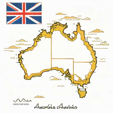
Australia is situated between the Indian and Pacific Oceans, lying southeast of Asia. It is surrounded by several bodies of water, including the Timor Sea to the northwest, the Arafura Sea to the north, the Coral Sea to the northeast, and the Tasman Sea to the southeast. To the south, Australia is bordered by the Southern Ocean. Its geographical position in the Southern Hemisphere gives it unique climate patterns, with seasons opposite to those in the Northern Hemisphere. For example, when it is winter in Europe or North America, it is summer in Australia.
Coordinates and Hemisphere
Australia’s approximate coordinates are 25 degrees South latitude and 133 degrees East longitude. This location places it entirely in the Southern and Eastern Hemispheres. Being in these hemispheres influences Australia’s time zones, daylight patterns, and weather conditions. The continent stretches across several time zones, from Australian Western Standard Time in Perth to Australian Eastern Standard Time in Sydney and Melbourne.
Australia’s Position Relative to Other Continents
Australia is often referred to as the island continent because it is both a country and a continent surrounded by water. Its proximity to Asia makes it an important player in regional politics and trade. To the north, the closest neighbors are Papua New Guinea, Indonesia, and East Timor. Across the Tasman Sea to the east lies New Zealand, another island nation. To the southwest, Australia is separated from Africa by the vast expanse of the Indian Ocean. Its isolation has allowed unique flora and fauna to develop over millions of years.
Nearby Countries and Islands
- Papua New Guinea – located to the north of Australia, across the Torres Strait
- Indonesia – northwest of Australia, separated by the Timor Sea
- East Timor – north of Australia, near the Timor Sea
- New Zealand – east of Australia, across the Tasman Sea
- Solomon Islands – northeast of Australia in the Pacific Ocean
Australia’s location among these countries has made it a hub for tourism, trade, and cultural exchange. Its strategic position in the Asia-Pacific region also impacts defense and international relations.
Australia on World Maps
When looking at a world map, Australia is usually found in the lower right-hand corner due to its Southern Hemisphere location. It is south of the equator and east of the prime meridian, which places it southeast of Asia and east of the Indian Ocean. Its relatively small population compared to its landmass means that while it is geographically large, it may appear less prominent on maps depending on the map projection used.
Map Projections and Australia’s Appearance
Different map projections can affect how Australia appears in size and shape. For example
- Mercator Projection – Australia may appear smaller relative to countries near the equator or poles.
- Robinson Projection – provides a more accurate visual representation of Australia’s true size compared to the rest of the world.
- Globe – shows Australia’s position relative to continents and oceans without distortion.
Understanding these variations is helpful for travelers, students, and geography enthusiasts who want to accurately locate Australia and appreciate its scale.
Major Cities and States
Australia consists of six states and two major territories New South Wales, Victoria, Queensland, South Australia, Western Australia, Tasmania, Northern Territory, and the Australian Capital Territory. Its major cities are often located near the coast due to the arid interior regions, known as the Outback.
Important Cities and Locations
- Sydney (New South Wales) – located on the southeastern coast
- Melbourne (Victoria) – in the southeast, near Port Phillip Bay
- Brisbane (Queensland) – northeast coast, along the Brisbane River
- Perth (Western Australia) – southwestern coast, facing the Indian Ocean
- Adelaide (South Australia) – southern coast, near Gulf St Vincent
- Hobart (Tasmania) – on the island state of Tasmania, south of the mainland
- Darwin (Northern Territory) – northern coast, near Timor Sea
These cities reflect the population distribution and economic centers of Australia, highlighting that most people live near the coast while the interior remains sparsely populated.
Geographical Features Related to Location
Australia’s location contributes to its diverse geography and natural features. The eastern coast features mountain ranges such as the Great Dividing Range, while the interior is dominated by deserts like the Simpson and Great Victoria Deserts. Australia also has extensive coral reefs, including the Great Barrier Reef off the northeastern coast. Its location makes it prone to unique climate patterns, such as tropical cyclones in the north and Mediterranean climates in the south.
Environmental and Climate Implications
Being in the Southern Hemisphere and largely isolated, Australia experiences distinct seasons, biodiversity, and weather conditions
- Summer occurs from December to February, winter from June to August.
- Coastal regions tend to have moderate temperatures, while the interior is arid and experiences extreme heat.
- Australia’s isolation has led to unique flora and fauna, such as kangaroos, koalas, and eucalyptus forests.
Australia is a vast, island continent located in the Southern Hemisphere, southeast of Asia, and surrounded by the Indian and Pacific Oceans. Its position on the map affects its climate, biodiversity, trade, and international relations. Major cities are mostly coastal, while the interior remains sparsely populated. Understanding where Australia is on the map helps provide context for its unique geography, culture, and economic significance. From its neighboring countries to its strategic location in the Asia-Pacific region, Australia occupies a remarkable and influential place on the global stage, making it both geographically and culturally significant for travelers, students, and professionals alike.