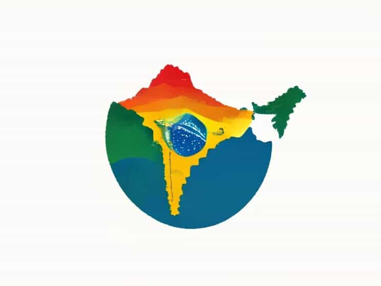
The physiography of a country defines its physical features, including mountains, plateaus, plains, rivers, and coastal regions, and greatly influences its climate, biodiversity, and human activities. Brazil and India are two vast countries located on different continents, yet both exhibit diverse physiographic characteristics that shape their economies, agriculture, and settlement patterns. Understanding the differences and similarities between the physiography of Brazil and India provides insight into how natural landscapes affect development, resource distribution, and cultural evolution. Both countries have unique physiographic divisions that contribute to their global significance in agriculture, mining, and ecology.
Major Physiographic Divisions of Brazil
Brazil is the largest country in South America and features extensive physiographic diversity. Its landscape includes vast plateaus, mountains, plains, river systems, and coastal regions, with the Amazon Basin dominating the northern part of the country. Brazil’s physiography is influenced by its tectonic stability, tropical climate, and extensive river networks, which together create a variety of ecosystems ranging from dense rainforests to fertile plains.
Brazilian Highlands
The Brazilian Highlands, also known as the Brazilian Plateau, cover a significant portion of the country’s interior. These highlands consist of rolling plateaus, escarpments, and low mountains. They are rich in minerals and host major agricultural zones for crops such as coffee, soybeans, and sugarcane. The highlands are crucial for hydroelectric power generation due to their river systems descending from elevated areas.
Amazon Basin
The Amazon Basin occupies northern Brazil and is characterized by the Amazon River and its numerous tributaries. This lowland region features dense tropical rainforests with high biodiversity and fertile floodplains. It plays a critical role in global climate regulation and is central to Brazil’s timber, medicinal plant resources, and ecotourism potential.
Coastal Plains and Mountains
Brazil’s eastern coastline features narrow coastal plains bordered by escarpments and mountain ranges, such as the Serra do Mar and Serra da Mantiqueira. These regions have fertile soils and are densely populated, with major cities like Rio de Janeiro and São Paulo located along the coast. The coastal plains support intensive agriculture, urban settlements, and port activities, linking Brazil to global trade networks.
Major Physiographic Divisions of India
India, located in South Asia, has a highly varied physiography influenced by tectonic activity, monsoonal climate, and river systems. The country encompasses towering mountains, extensive plateaus, fertile plains, deserts, and coastal regions. India’s physical diversity has shaped its agriculture, cultural settlements, mineral resources, and hydropower potential. Unlike Brazil, India’s physiographic divisions are closely associated with ancient tectonic movements and glacial history.
Himalayas and Northern Mountains
The northern boundary of India is dominated by the Himalayan mountain system, which includes lofty peaks, valleys, and glaciers. The Himalayas are crucial for climate regulation, river systems like the Ganges and Brahmaputra, and biodiversity. They also serve as natural barriers and influence monsoon patterns, which are vital for agriculture in the Indo-Gangetic plains.
Indo-Gangetic Plains
The Indo-Gangetic plains are among the most fertile and densely populated regions in India. Formed by the alluvial deposits of the Ganges, Yamuna, and other rivers, these plains support extensive agriculture, including rice, wheat, sugarcane, and pulses. The plains play a central role in India’s food security and are home to major urban centers such as Delhi, Kolkata, and Lucknow.
Peninsular Plateau
India’s Peninsular Plateau covers much of southern and central India. This region consists of ancient igneous and metamorphic rocks, dissected plateaus, and hills. Rich in minerals like iron ore, manganese, and bauxite, the plateau supports mining and industrial activities. Rivers like the Godavari, Krishna, and Cauvery originate from this plateau, providing water for irrigation and hydroelectric power.
Deserts, Coastal Plains, and Islands
India also features the Thar Desert in the northwest, western and eastern coastal plains along the Arabian Sea and Bay of Bengal, and islands such as the Andaman and Nicobar Islands. These regions contribute to India’s diverse climatic zones, agriculture, tourism, and maritime trade. Coastal plains support rice cultivation and urban settlements, while the desert is sparsely populated but rich in mineral resources.
Comparative Analysis Brazil vs India
Both Brazil and India exhibit physiographic diversity, but they differ in structure, climate influence, and ecological significance. Brazil’s landscape is dominated by highlands and vast tropical lowlands, whereas India features towering mountain ranges, fertile plains, and ancient plateaus. In Brazil, the Amazon Basin is the ecological highlight, whereas India’s Indo-Gangetic plains are central to agriculture and population settlement. Brazil’s physiography supports tropical forests and hydroelectric power, while India’s physiography supports monsoonal agriculture and mineral exploitation.
Similarities
- Both countries have plateaus and highlands that support agriculture and mining.
- Coastal plains in both countries facilitate urban settlements, trade, and fertile soils.
- River systems in Brazil (Amazon, Paraná) and India (Ganges, Brahmaputra) play vital roles in irrigation, transport, and hydroelectric power.
- Both have ecologically significant regions supporting biodiversity.
Differences
- Brazil’s Amazon Basin is a tropical rainforest, while India’s northern plains are primarily alluvial and support intensive agriculture.
- Brazil has relatively stable tectonics and low mountain elevations, whereas India’s Himalayas are tectonically active and contain the world’s highest peaks.
- Brazilian plateaus are younger and less rugged, while India’s Peninsular Plateau is ancient and composed of hard igneous rocks.
- Brazil’s climate is predominantly tropical, while India experiences diverse climatic zones from alpine to desert to tropical.
Impact on Human Activity
The physiography of both countries greatly influences human activity. In Brazil, the Amazon Basin limits dense population settlement but provides timber, biodiversity, and ecotourism. The Brazilian Highlands and coastal cities are hubs of agriculture, industry, and energy production. In India, the fertile Indo-Gangetic plains support dense populations and intensive agriculture. The Peninsular Plateau and mineral-rich areas sustain mining and industry, while the Himalayas influence water resources, climate, and tourism. In both countries, physiography shapes settlement patterns, economic activity, and cultural landscapes.
Urban and Agricultural Implications
- Brazil Coastal cities and plateaus support urban development; Amazon Basin is sparsely populated but ecologically vital.
- India Indo-Gangetic plains support dense population and agriculture; plateau regions provide minerals and hydroelectric power.
- Both countries rely on river systems for irrigation, water supply, and energy generation.
The physiography of Brazil and India demonstrates how natural landscapes influence climate, biodiversity, human settlement, and economic activity. While Brazil features highlands, the Amazon Basin, and tropical forests, India is defined by the Himalayas, Indo-Gangetic plains, and Peninsular Plateau. Despite these differences, both countries have fertile plains, extensive river systems, and coastal regions that support agriculture, trade, and urban development. Understanding these physiographic differences provides insight into resource management, environmental conservation, and sustainable development in both nations. By analyzing the physiography of Brazil and India, one can appreciate the complex interactions between natural features, climate, and human activity that define these two important global regions.