Example Of Vicinity Map Drawing
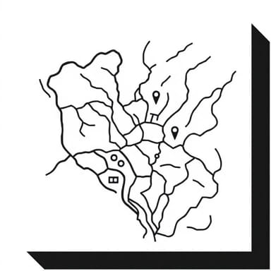
A vicinity map drawing is a useful visual representation that helps identify the location of a specific site relative to its surrounding landmarks, roads, or regions. Often used in architecture, engineering, construction, real estate, and government planning, a vicinity map provides quick orientation for viewers unfamiliar with the area. While not highly detailed like street … Read more
Read More