Across the Earth’s surface, the constant forces of erosion and tectonic activity shape landforms into fascinating patterns. One particularly interesting feature is a circular landform that results from the erosion of an anticline. This structure, often visible in aerial photographs or satellite imagery, reveals deep geological history through its layered rock exposures. As erosion gradually wears away the uppermost rock layers of an anticline, a distinct topographical pattern emerges. Understanding how these circular features form requires insight into structural geology, erosion processes, and the behavior of sedimentary layers over time.
What Is an Anticline?
Basic Geological Structure
An anticline is a type of fold that occurs in rock layers due to compressional forces within the Earth’s crust. It is characterized by an upward arching shape, where the oldest rock layers are found at the core of the fold, and progressively younger layers occur outward. Anticlines are the opposite of synclines, which dip inward like a trough.
Formation Process
Anticlines form when tectonic plates collide or when crustal compression pushes rock strata upward. Over millions of years, sedimentary layers that were originally horizontal become deformed, creating arch-like structures. These structures are often found in mountain ranges, basins, and regions with active tectonic history.
Erosion of Anticlines
Impact of Weathering and Erosion
Once exposed at the surface, anticlines are subjected to weathering and erosion. These processes gradually remove the upper rock layers. Because different rock layers have varying resistance to erosion, the landscape begins to reflect these differences. Softer rocks erode more quickly, while harder layers form ridges or high points.
Revealing the Core
As erosion continues, the core of the anticline typically composed of the oldest and often hardest rocks is revealed. Over time, the erosion cuts down into the structure, removing the outer limbs and creating a pattern of concentric circles or ovals in the terrain. These rings represent different rock layers that were once folded together.
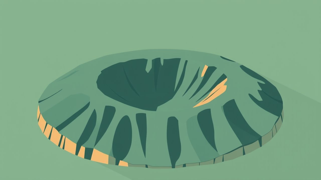
Circular Landforms Eroded Anticlines
What They Look Like
Circular landforms formed by the erosion of anticlines typically appear as dome-shaped or elliptical structures when viewed from above. These features are also known asstructural domesorerosional domes, depending on the geological context. They may consist of ringed ridges with valleys in between, reflecting the alternating erosion of resistant and softer rock layers.
Key Characteristics
- Concentric rock outcropsThe eroded layers form a visible pattern of rings or arcs around a central point.
- Oldest rocks in the centerDue to the nature of anticlines, the center of the structure often displays the most ancient rock formations.
- Elevation changesElevation may be higher in the center or along certain resistant layers, depending on erosion rates.
- Radial drainageRivers and streams may form radial drainage patterns flowing outward from the center.
Examples of Circular Anticline Erosion Landforms
The San Rafael Swell (Utah, USA)
One of the most well-known examples is the San Rafael Swell in Utah. It is a large geologic dome formed by the uplift and erosion of an anticline. The swell spans over 75 miles and features spectacular ridges, canyons, and rock formations. Its exposed layers reveal millions of years of geological history in concentric patterns.
Zagros Mountains (Iran)
The Zagros region contains numerous elongated and circular anticlines that have been deeply eroded. These features are particularly visible in satellite imagery and provide geologists with excellent examples of anticline erosion in arid climates.
Black Hills (South Dakota, USA)
The Black Hills are a domal uplift structure where erosion has exposed ancient crystalline rocks in the center, surrounded by younger sedimentary layers. Though more complex than a simple anticline, this region displays the pattern of concentric erosion typical of anticline-based domes.
Geological Significance
Indicators of Subsurface Structure
These circular landforms provide valuable clues about the subsurface geological structure. Because the erosion reveals sequential rock layers, geologists can interpret the history and orientation of the original anticline, including its axis, dip, and symmetry.
Natural Resource Exploration
Anticlines are often associated with oil and gas traps. The upward arching structure can trap hydrocarbons beneath impermeable layers. Even after erosion, the structure may indicate potential reserves in deeper, unexposed parts of the formation.
Geomorphological Study
The erosion patterns of anticlines help researchers understand the relationship between rock type, climate, and topography. These patterns also support studies in landscape evolution and long-term geological processes.
Formation Factors and Variations
Rock Type and Erosional Resistance
Not all anticlines produce prominent circular landforms. The appearance and visibility of these features depend heavily on the types of rocks involved. For instance
- Limestone and sandstoneOften form resistant ridges and steep slopes.
- Shale and siltstoneTend to erode more quickly, forming valleys and lower terrain.
- Metamorphic rocksIn some cases, metamorphic cores are exposed at the center due to deep erosion.
Climate and Erosion Rates
In arid climates, where vegetation is sparse, erosion reveals rock layers more dramatically, creating bold patterns. In humid or forested regions, erosion may still occur but is less visually distinct due to vegetation cover and soil development.
Size and Shape of Anticline
The original geometry of the anticline also influences the resulting landform. Broad, symmetrical anticlines are more likely to form large, evenly spaced circular landforms. Asymmetrical folds or plunging anticlines may create more elliptical or irregular erosion patterns.
How Geologists Study These Features
Field Surveys
Geologists examine exposed rock layers, measure bedding planes, and identify fossils or minerals to determine the age and formation sequence. These studies reveal the structure and help reconstruct the geological history of the region.
Remote Sensing and Satellite Imagery
Aerial and satellite images are essential for observing large-scale erosion patterns. Concentric landforms caused by anticline erosion are often best viewed from space, where their structure becomes apparent over vast distances.
Geological Mapping
Using data collected in the field and from remote sensing, geologists produce detailed geological maps. These maps show rock types, fault lines, and fold axes, aiding in education, resource exploration, and environmental management.
The circular landform resulting from the erosion of an anticline is a powerful example of how internal Earth processes and surface forces interact over geological time. These features not only reveal the underlying structure of the Earth’s crust but also provide vital information for scientists, engineers, and environmental planners. By studying these natural patterns, we gain a deeper appreciation for the dynamic nature of our planet and the processes that have shaped its surface for millions of years. Whether viewed from a mountain ridge or a satellite image, these landforms are silent witnesses to Earth’s enduring geological activity.