Many people ask where is the Mojave Desert on a map because it is one of the most talked-about deserts in North America, yet its exact location can feel unclear at first. The Mojave Desert appears frequently in geography lessons, travel guides, and nature documentaries, but understanding where it sits in relation to states, cities, and other deserts helps make its importance much clearer. Its location shapes its climate, landscapes, and cultural significance.
Understanding the Mojave Desert’s Geographic Position
The Mojave Desert is located in the southwestern United States. When looking at a map, it sits primarily in southeastern California, but it also extends into parts of Nevada, Arizona, and a small portion of Utah. This desert occupies a unique position between other major desert regions, making it an important geographic landmark.
Knowing where the Mojave Desert is on a map helps explain why it has such diverse terrain and ecosystems.
States That Include the Mojave Desert
The Mojave Desert does not belong to just one state. Instead, it spreads across several, with California containing the largest portion.
States Covered by the Mojave Desert
- California
- Nevada
- Arizona
- Utah
On a map, most people recognize the Mojave Desert in southern California first, but its reach goes farther than many realize.
Location Within California
In California, the Mojave Desert lies east of the Sierra Nevada mountain range and north of the Sonoran Desert. It covers a large area that includes desert valleys, mountain ranges, and dry lake beds.
When viewing a California map, the Mojave Desert occupies much of the southeastern portion of the state.
Relation to Major Cities
Understanding where the Mojave Desert is on a map becomes easier when compared to well-known cities. The desert is located northeast of Los Angeles and east of Bakersfield.
Las Vegas, one of the most famous cities in the region, sits directly within the Mojave Desert, making it a key reference point.
The Mojave Desert and Neighboring Deserts
The Mojave Desert is part of a larger network of deserts in the American Southwest. It is bordered by other desert regions, each with different characteristics.
To the south and east lies the Sonoran Desert, while the Great Basin Desert is located to the north.
How the Mojave Desert Is Distinguished
- It sits at a higher elevation than the Sonoran Desert
- It has colder winter temperatures
- It is defined by the presence of Joshua trees
Key Landmarks on the Map
Several famous landmarks help identify where the Mojave Desert is on a map. These features are often labeled in atlases and digital maps.
Death Valley, the lowest point in North America, is one of the most notable landmarks located within the Mojave Desert.
Mountain Ranges Within the Mojave Desert
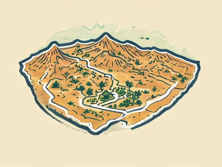
Contrary to the idea that deserts are flat, the Mojave Desert includes many mountain ranges. On a map, these ranges appear scattered across the region.
The presence of mountains influences weather patterns and creates varied landscapes throughout the desert.
Climate and Location Connection
The Mojave Desert’s location plays a major role in its climate. Being positioned between mountain ranges limits rainfall, creating dry conditions.
On a map, the surrounding mountains help explain why moisture from the Pacific Ocean rarely reaches the desert.
The Mojave Desert on Political Maps
On political maps, the Mojave Desert may not always be clearly labeled, as political boundaries focus on states and cities rather than natural regions.
However, understanding state borders helps approximate the desert’s location.
The Mojave Desert on Physical Maps
Physical maps provide a clearer picture of where the Mojave Desert is on a map. These maps highlight elevation, terrain, and natural features.
The desert is visible as a broad area of low rainfall and arid land east of major mountain ranges.
Importance of Elevation
One defining factor of the Mojave Desert’s location is elevation. It is generally higher than nearby deserts, which contributes to cooler temperatures.
This detail becomes noticeable when studying topographic maps.
National Parks and Protected Areas
Several protected areas help mark the Mojave Desert’s location. Mojave National Preserve and Death Valley National Park are two of the most significant.
These protected areas are often clearly labeled on maps, making them useful reference points.
Transportation Routes Through the Mojave Desert
Major highways cross the Mojave Desert, connecting cities and states. On a map, these roads often cut through large stretches of desert.
These routes highlight the desert’s strategic location in regional transportation.
Why People Search for the Mojave Desert on a Map
People search for where the Mojave Desert is on a map for many reasons, including education, travel planning, and environmental study.
Its extreme climate and unique landscapes make it a subject of curiosity.
The Mojave Desert in Education
In geography and earth science classes, the Mojave Desert is often used as an example of arid environments. Teachers frequently ask students to locate it on a map.
This helps students understand how geography influences climate and ecosystems.
Digital Maps and Modern Navigation
Modern digital maps make it easier than ever to find the Mojave Desert. Satellite views clearly show its vast, open terrain.
Zooming out reveals how it fits into the larger geography of the southwestern United States.
Cultural and Historical Significance of Its Location
The location of the Mojave Desert has shaped human history in the region. Indigenous peoples adapted to its environment long before modern borders existed.
Its position later influenced trade routes, settlements, and military history.
Common Misconceptions About Its Location
Some people assume the Mojave Desert is entirely within California or confuse it with other deserts. Maps help clarify these misunderstandings.
Recognizing its multi-state presence provides a more accurate picture.
Understanding where the Mojave Desert is on a map gives valuable insight into its climate, landscapes, and importance. Located in the southwestern United States, spanning parts of California, Nevada, Arizona, and Utah, it sits between major mountain ranges and neighboring deserts.
By learning its position and surrounding features, readers gain a clearer appreciation of why the Mojave Desert is one of the most distinctive and studied desert regions in North America.